阿富汗近四十年来一直处于旷日持久的冲突中,直接关系到实现发展目标的进展。这种反复发生的暴力和不安全事件,经济和政治动荡以及随之而来的人口在该国境内和境外流离失所的情况,对可用于设计,实施,监测和评估干预措施的数据和证据格局具有重要意义。阿富汗人是世界上最大,最持久的难民,估计有350万人目前在国外居住超过40年,是难民。鉴于阿富汗境内贫困发生率的巨大差异和高度不平等,对地区和纳希亚人的地理分布更为分散的生活水平的了解可以帮助为次省级的政策设计和决策提供依据。阿富汗制图贫困:技术报告 Executive Summary Poverty maps are visualizations of imputed estimates of poverty for small areas, typically below the level of survey-based statistics. This technical report accompanies the first set of poverty maps ever produced for Afghanistan, offering new insights into the spatial distribution of welfare at the district and nahia (urban sub-district) level. Direct estimates of poverty based on the Afghanistan Living Conditions Surveys allow for welfare measurement for the 34 provinces of the country. From the provincial estimates, we know that poverty tends to be higher in rural areas and is highest in the Southwest, Northeast, and West-Central regions of the country (ALCS 2016-17). However, the poverty maps yield a finer resolution of poverty down to the district and nahial level and reveal the heterogeneity in poverty rates and poverty density within provinces previously masked by the provincial estimates. This report includes results for the poverty maps in Kabul and Herat provinces, and is the first in a series of poverty maps. Methodology and Data The poverty maps for Afghanistan were produced using the well-established small area estimation methodology of Elbers, Lanjouw, and Lanjouw (2003) to produce reliable yet highly disaggregated poverty estimates. This poverty mapping method combines the different strengths of household survey and census data. 【更多详情,请下载:阿富汗制图贫困:技术报告】 镝数聚dydata,pdf报告,小数据,可视数据,表格数据
最新图说查看更多
    * 本报告来自网络,如有侵权请联系删除

    阿富汗制图贫困:技术报告

    收藏

    价格免费
    年份2016-2017
    来源世界银行
    数据类型数据报告
    关键字暴力事件, 难民, 人身安全
    店铺镝数进入店铺
    发布时间2020-07-21
    PDF下载

    数据简介

    阿富汗近四十年来一直处于旷日持久的冲突中,直接关系到实现发展目标的进展。这种反复发生的暴力和不安全事件,经济和政治动荡以及随之而来的人口在该国境内和境外流离失所的情况,对可用于设计,实施,监测和评估干预措施的数据和证据格局具有重要意义。阿富汗人是世界上最大,最持久的难民,估计有350万人目前在国外居住超过40年,是难民。鉴于阿富汗境内贫困发生率的巨大差异和高度不平等,对地区和纳希亚人的地理分布更为分散的生活水平的了解可以帮助为次省级的政策设计和决策提供依据。

    详情描述

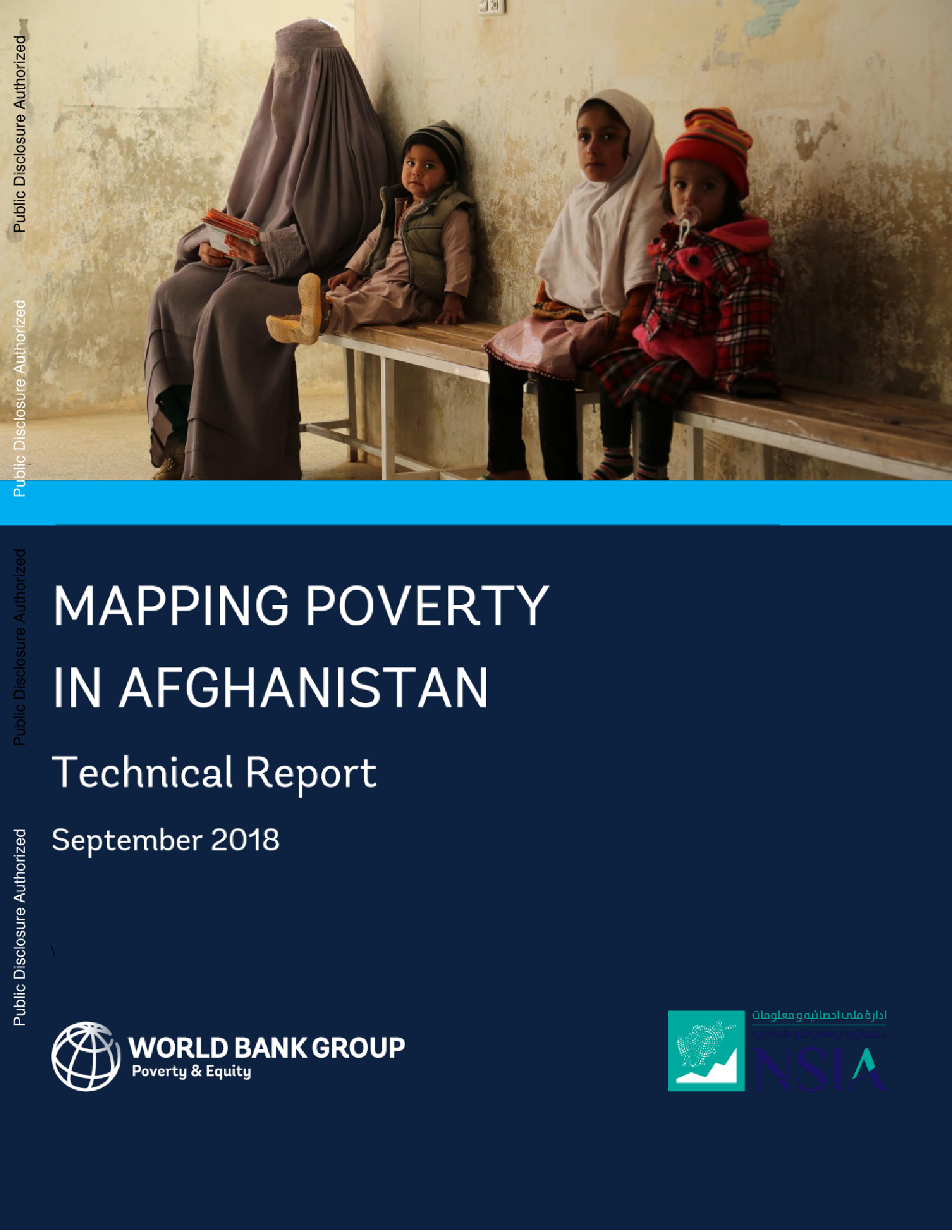
    阿富汗制图贫困:技术报告
    
    Executive Summary
    Poverty maps are visualizations of imputed estimates of poverty for small areas, typically below the level of survey-based statistics. This technical report accompanies the first set of poverty maps ever produced for Afghanistan, offering new insights into the spatial distribution of welfare at the district and nahia (urban sub-district) level. Direct estimates of poverty based on the Afghanistan Living Conditions Surveys allow for welfare measurement for the 34 provinces of the country. From the provincial estimates, we know that poverty tends to be higher in rural areas and is highest in the Southwest, Northeast, and West-Central regions of the country (ALCS 2016-17). However, the poverty maps yield a finer resolution of poverty down to the district and nahial level and reveal the heterogeneity in poverty rates and poverty density within provinces previously masked by the provincial estimates. This report includes results for the poverty maps in Kabul and Herat provinces, and is the first in a series of poverty maps.
    Methodology and Data
    The poverty maps for Afghanistan were produced using the well-established small area estimation methodology of Elbers, Lanjouw, and Lanjouw (2003) to produce reliable yet highly disaggregated poverty estimates. This poverty mapping method combines the different strengths of household survey and census data.
    
    【更多详情,请下载:阿富汗制图贫困:技术报告】

    报告预览

    *本报告来自网络,如有侵权请联系删除
    相关「可视数据」推荐
    相关「数据报告」推荐
    `
    会员特惠
    客 服

    镝数聚官方客服号

    小程序

    镝数官方小程序

    回到顶部
    `